Stress & Pressure
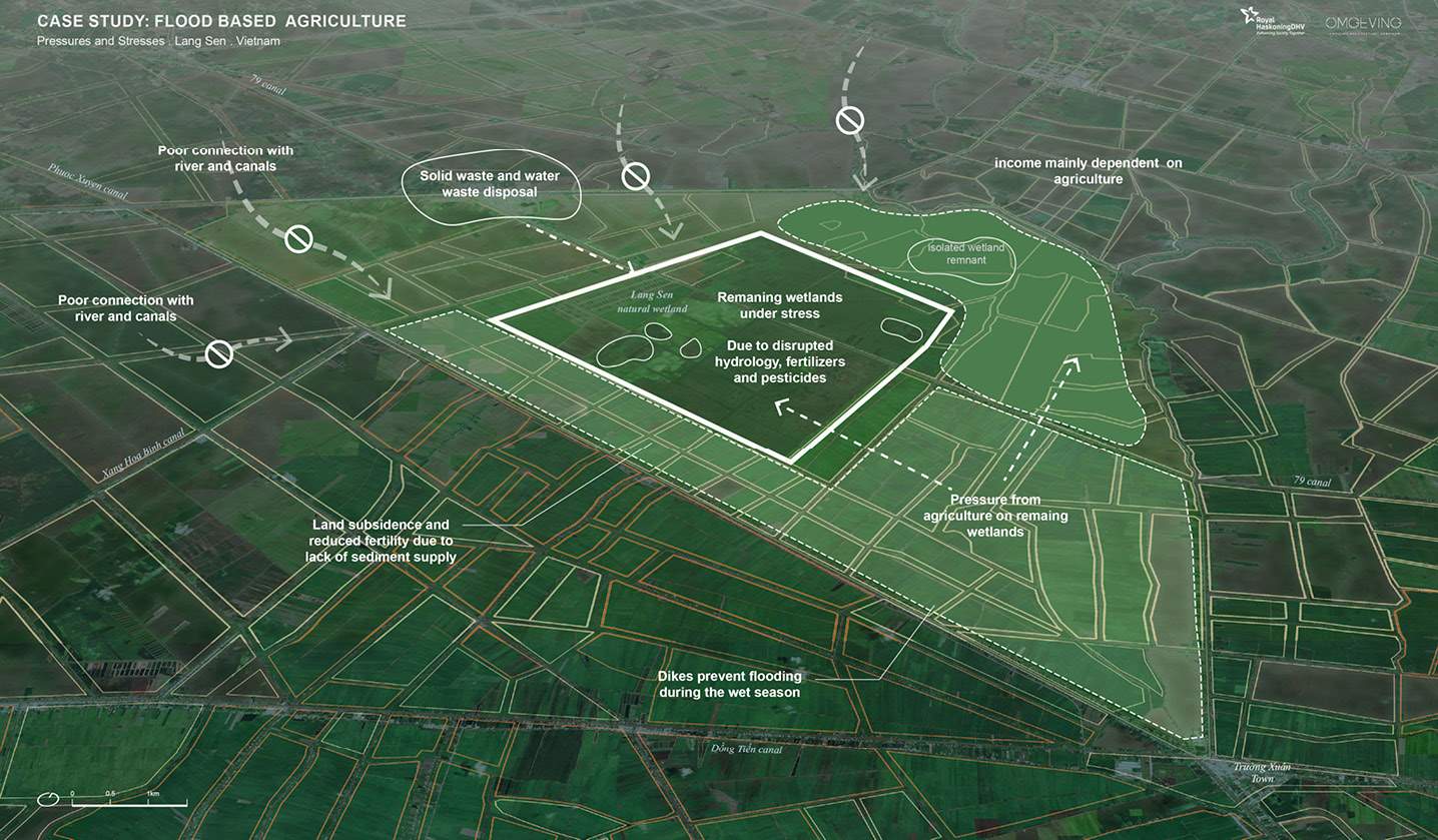
The Mekong Upper Delta supports extensive agricultural production. This area used to be characterized by naturally occurring wide spread floods in the wet season (see figure above). To facilitate a third rice crop during the wet season, communities have developed an extensive and uncoordinated agricultural flood control system of around 20,000 km of dikes. The goal was to increase agricultural production, promote spatial development, and improve flood safety. However, these measures have significantly reduced the area's flood storage capacity and disrupted the natural flow of water, sediment, and nutrients.
The high dike strategy has not only reduced the positive effects of flooding, such as depositing sediment to counteract subsidence, replenishing soil fertility, and supporting groundwater recharge, but it has also made farmers more vulnerable. This is due to the decreasing economic efficiency of rice production and the growing impacts of climate change. While the high dike system protects large parts of the Upper Delta from smaller floods, it can be overtopped by extreme floods. Furthermore, due to encroaching infrastructure, upstream sand mining, and dam construction, the Upper Delta experiences extensive riverbank erosion and an increasing occurrence of serious landslides, causing damage to communities and livelihoods along the riverbanks.